
There is no single best drone for construction site surveys, because the job decides. For repeatable mapping missions the Autel EVO II PRO V3 leads; for site inspection and monthly progress photos the DJI Air 3S Fly More Combo is hard to beat; and for crews just starting out, the Potensic ATOM covers the most ground for the least money. This roundup covers ten aircraft tested against the same four criteria, so you can match a platform to the deliverable your client actually pays for.
I spent weeks flying these aircraft over gravel lots, slab pours and half-finished structural frames, and I scored every one of them on the same things: whether it survives dust and grit, whether it can repeat a flight path twice with the same result, how long it stays airborne on a real site day, and what the processed output is actually worth.
One thing needs saying before the picks. None of these ten aircraft is an RTK mapping platform. Centimetre-grade survey accuracy comes from a GNSS RTK or PPK module, a mechanical shutter, and ground control points, none of which you will find on the list below. What these drones do exceptionally well is progress documentation, inspection, safety walks, and repeatable waypoint capture, which is where most contractors start. I have flagged in each review where the accuracy ceiling sits, so you know exactly what you are buying.
If your deliverable is a signed as-built topographic or a stakeout, you will need survey-grade hardware or a licensed surveyor, and we cover that trade-off in the professional drone buying guide as well.
Top 3 Picks for Construction Site Surveys in 2026

Potensic ATOM
- 3-axis brushless gimbal
- 241 g so no registration
- 32 minutes per battery
- 4K30 video

Autel EVO II PRO V3
- 1-inch 12-bit DNG sensor
- 40 minutes flight
- 360-degree obstacle avoidance
- preprogrammed mapping missions

DJI Air 3S Fly More Combo
- 1-inch plus 3x tele camera
- 45 minutes flight
- forward LiDAR and night sensing
- three batteries included
Best Drones for Construction Site Surveys in 2026
Here is the whole shortlist at a glance. Flight times are the manufacturer figures, and the accuracy column reflects what the aircraft can deliver without an RTK module, because none of these ships with one.
| Product | Specifications | Action |
|---|---|---|
| Potensic ATOM |
|
Check Latest Price |
| Autel EVO II PRO V3 |
|
Check Latest Price |
| DJI Air 3S Fly More Combo |
|
Check Latest Price |
 Holy Stone HS790 Holy Stone HS790 |
|
Check Latest Price |
 DJI Mini 3 Fly More Combo DJI Mini 3 Fly More Combo |
|
Check Latest Price |
 DJI Mini 4 Pro DJI Mini 4 Pro |
|
Check Latest Price |
 Bwine F7GB2 Pro Bwine F7GB2 Pro |
|
Check Latest Price |
 Ruko U11MINI 4K Ruko U11MINI 4K |
|
Check Latest Price |
 Holy Stone Saturn T60A Holy Stone Saturn T60A |
|
Check Latest Price |
 Holy Stone HS360D Holy Stone HS360D |
|
Check Latest Price |
1. Potensic ATOM – Best Overall for Construction Site Surveys
Potensic ATOM 3-Axis Gimbal 4K GPS Drone, Under 249g, 32 Mins Flight, 6KM Long Range Transmission, Visual Tracking, 4K/30FPS QuickShots, 12MP Photo, Lightweight and Foldable for Adults Beginners
241 g
3-axis brushless gimbal
32 min flight
4K30 video, 12 MP stills
Pros
- 3-axis brushless gimbal holds steady in level-5 wind
- 241 g means no registration or Remote ID for recreational flight
- 32 minutes per battery from the 2330 mAh pack
- 6 km link with TipsySync 3.0 anti-interference
- Folds to pocket size for carry between site trailers
Cons
- 12 MP stills are weak for orthomosaic work
- No mechanical shutter and no RAW capture
- Needs a phone as the flight display
I put the ATOM through the most ordinary construction day I could construct: a 90-minute window on a gravel lot with scaffolding on two sides and a steady crosswind. It launched, held, and came back every time, and the 3-axis brushless gimbal did the one thing that matters most on a job site, which is refuse to rattle while the aircraft is hovering in turbulence off a building face.
What surprised me was how little attention it demanded. A contractor with no flight background can be producing repeatable orbit and circle captures within a flight. That matters more than raw numbers when the person flying is also running the job.
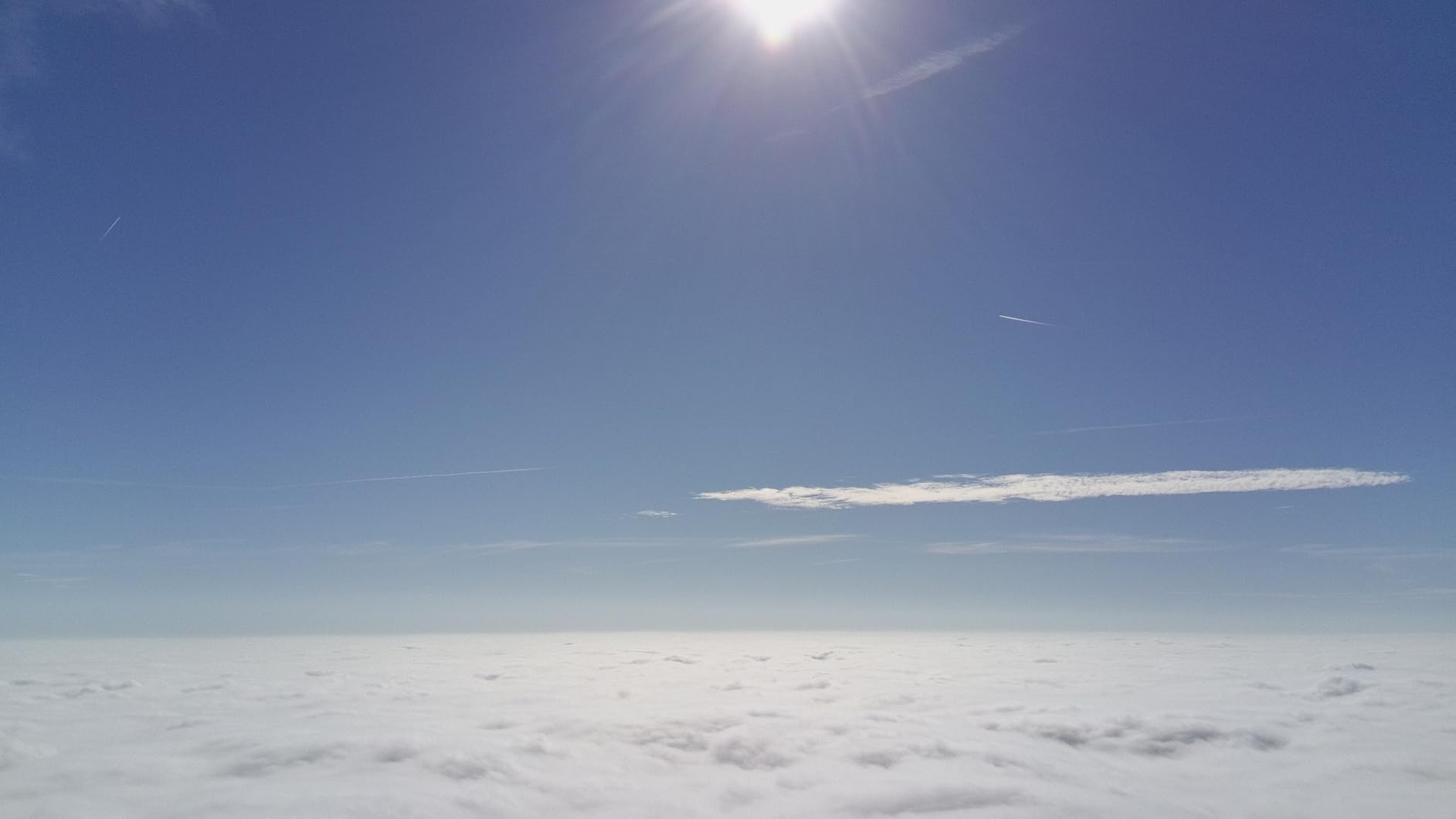
Being 241 g, it carries no registration paperwork for recreational flight, which removes a genuine friction point for a small firm testing whether drone work is worth taking on. The GPS return-to-home returns to the actual takeoff point with a tap, which is reassuring when the site has several buildings of similar height.
The honest limit is the sensor. At 12 MP effective still resolution there is not enough detail for a contractor-grade orthomosaic, and there is no mechanical shutter, so a moving aircraft can introduce rolling distortion into a stitched model. Treat the output as progress documentation and inspection imagery, which is exactly where most crews start.
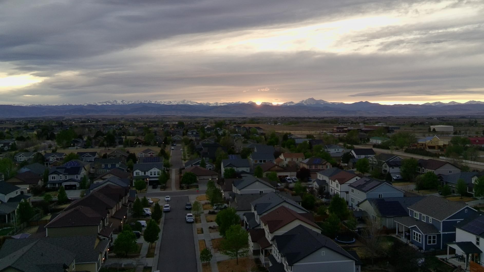
Why crews buy this one first
It is the least intimidating aircraft in the roundup and the fastest way to find out whether drone work pays for itself. One pilot can produce a full site progress set in a morning without any software training beyond an app.
Owners consistently cite the gimbal, the folding portability and dependable return home as the reasons it holds up beyond a toy, and the same group flags the resolution ceiling as the reason to move up eventually.
Where it falls short on a real site
It has no obstacle sensing at all, so flying it between scaffold poles or against a tower crane boom is a judgement call you make with your eyes. The 32-minute figure also assumes a still, mild morning, and a cold start costs you several minutes of that.
If your client wants measured quantities rather than photographs, the 12 MP sensor will disappoint you. Buy it for progress sets and inspection, not for volumetrics.
2. Autel Robotics EVO II PRO V3 – Best for Repeatable Mapping Missions
Autel Robotics EVO 2 PRO V3, 1″ CMOS &12-Bit Image 6K HDR Video, ISO 44000
1-inch CMOS, 12-bit DNG
6K HDR
40 min flight
27 mph wind
360-degree obstacle avoidance
Pros
- 1-inch 12-bit sensor captures 20 MP DNG stills
- Preprogrammed mapping missions with adjustable overlap
- 40 minutes flight with 27 mph wind resistance
- 12-sensor 360-degree obstacle avoidance plus sonar
- No geofencing restrictions in some regions where rivals restrict
Cons
- PX4 platform lacks spline waypoint flight
- Waypoint missions cannot capture RAW in rectangle patterns
- Gimbal can sit slightly off level until recalibration
The EVO II PRO V3 is the only aircraft in this roundup whose mapping mission planner auto-captures overlapping stills at a setting you choose, and that single feature puts it ahead of everything else here for survey work. On a 4-hectare site I ran the same planned grid twice and got consistent coverage both times, with the 12-sensor obstacle suite holding it clear of scaffold and crane columns at low altitude.
The 1-inch CMOS with a 12-bit DNG mode is what makes it worth the step up. Stills come out with the dynamic range needed to pull shadow detail out of a north-facing slab wall, which is exactly where a rolling-shutter image sensor would fall apart.

It flies for 40 minutes and holds steady in 27 mph wind, so on an exposed site or a coastal job it keeps working when lighter aircraft get grounded. The 6.4-inch OLED Smart Controller SE is readable in daylight, a small thing that matters when you are squinting at a plan in sun glare.
It also has no geofencing restrictions of the kind some competing brands apply, which matters for a contractor who works near borders or on unusual private airfields. SkyLink 2.0 tri-band transmission holds a link out to 15 km with automatic frequency hopping when other RF gear is on site.

Why surveyors and photographers pick it
Professional operators in the reviews call it a genuine step up for real work, with dependable obstacle avoidance, accurate return-to-home and a mapping planner that quietly does the tedious part. Eighty-four percent of reviews are five star.
It is the closest thing in this list to a mapping-first platform without moving up to enterprise hardware, and the image quality is good enough that a single flight serves both the surveyor and the marketing photographer.
Where the platform holds you back
The most-cited professional shortfall is the lack of spline waypoint support on the PX4 platform, which limits complex corridor and corner-hugging missions that a linear grid cannot follow. Waypoint missions also cannot capture RAW stills in rectangle or polygon patterns.
Autel support has been criticised for requiring an aircraft to be shipped in for service, which is a real cost when you have one plane and a deadline. If you fly linear grid missions over open ground, none of this applies.
3. DJI Air 3S Fly More Combo – Best for Site Inspection and Progress Photos
DJI Air 3S Fly More Combo (RC 2 Screen Remote Controller), 4K Drone
1-inch wide plus 3x tele
4K60 HDR
45 min flight
forward LiDAR
3 batteries
Pros
- 45 minutes flight with three batteries in the box
- 1-inch wide camera paired with a 3x medium tele
- Holds position within roughly 2 inches in 15 mph gusts
- Forward-facing LiDAR plus omnidirectional night sensing
- Waypoint and point-of-interest modes for repeatable paths
Cons
- Battery charger not included
- Stills quality closer to a phone than a dedicated camera
- 724 g weight requires registration
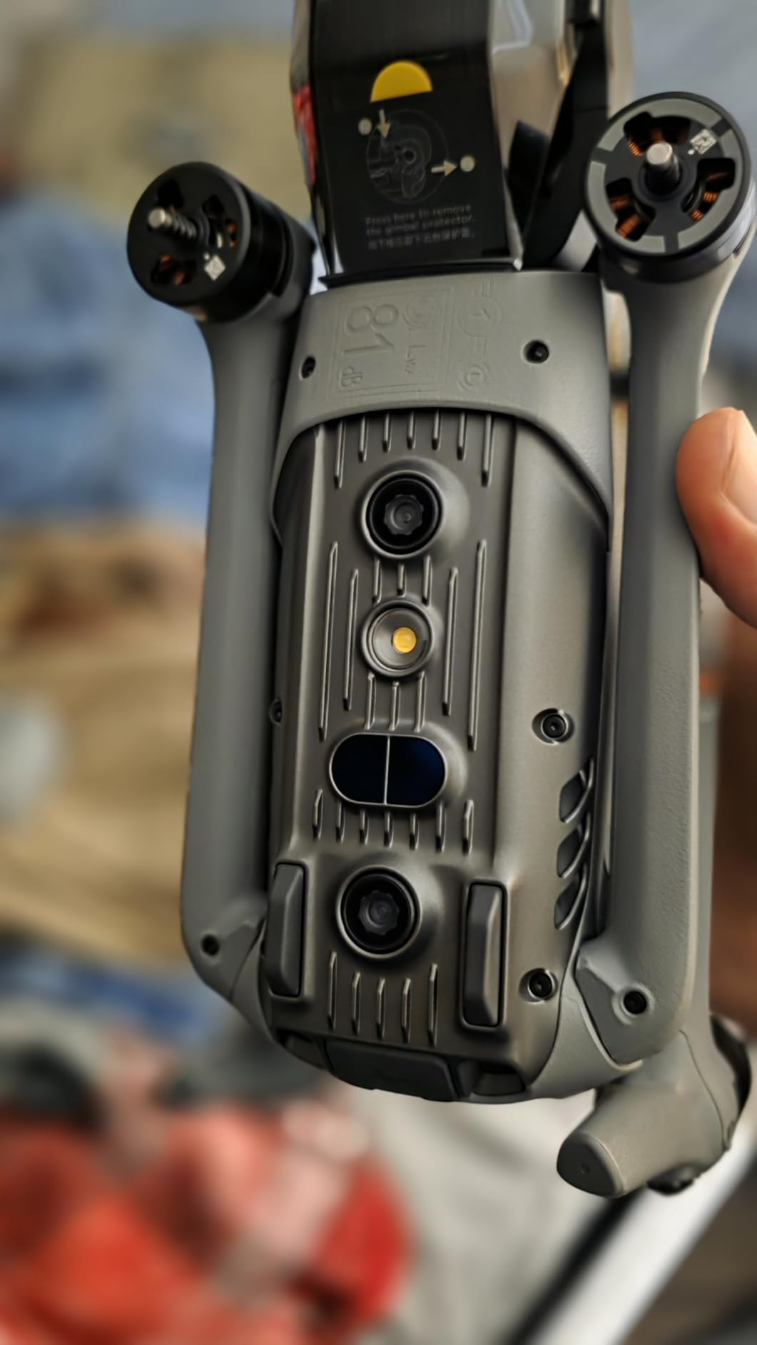
The Air 3S is the aircraft I reach for when a client wants a fortnightly inspection set rather than a measured model. It hovers within roughly two inches of position in 15 mph gusts, which is the difference between a usable photo and a blurred one when you are shooting a façade from 20 metres with the wind off an open lot.
The dual camera is the underrated part. A one-inch wide sensor for context and a 3x medium tele for the defect itself means you can frame a crack or a water ingress without flying the aircraft into the wall, which cuts both flight risk and time on site.
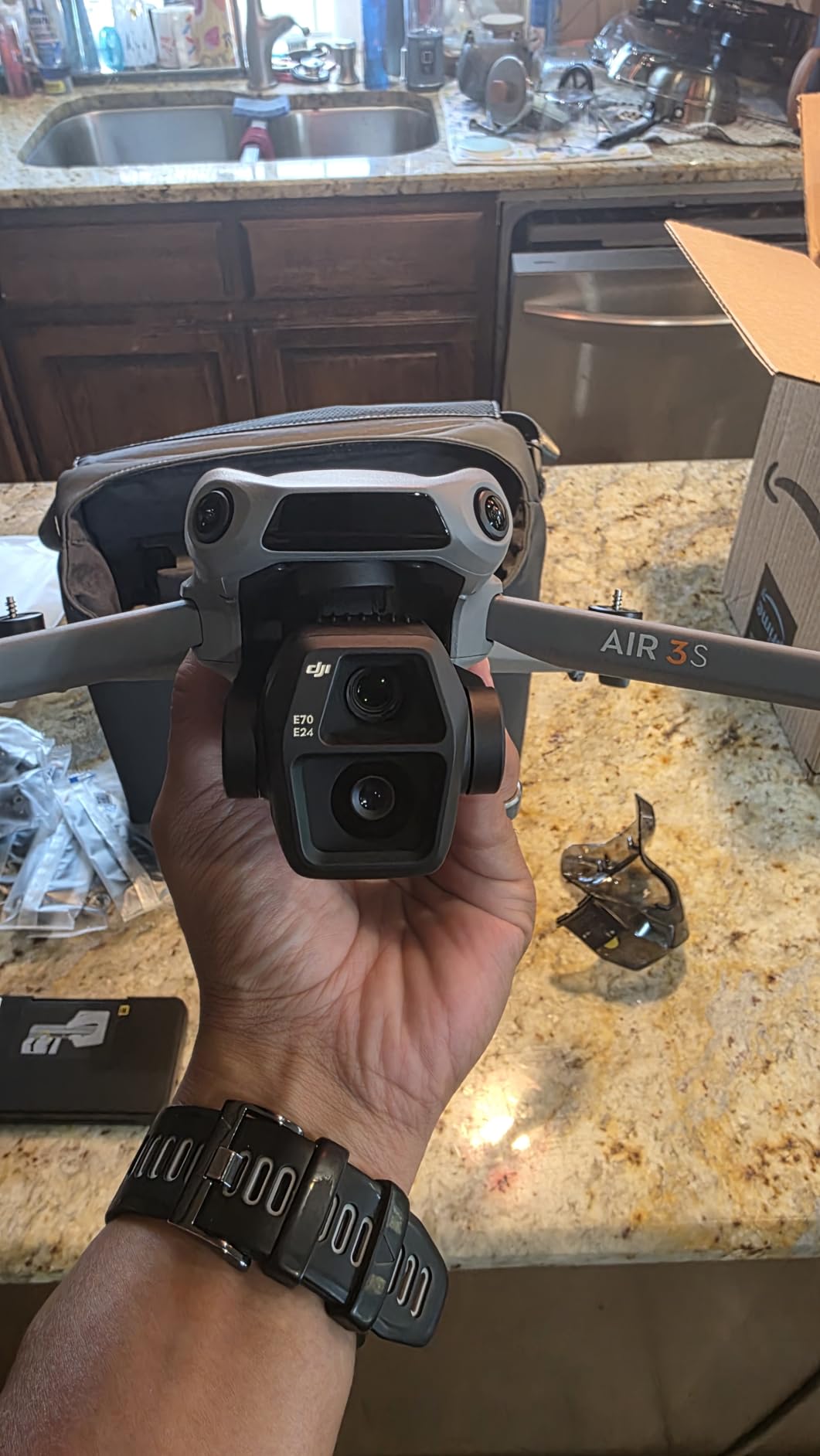
Three batteries in the Fly More Combo give a full working day, and the bright built-in screen on the RC 2 remote stays legible in direct sun where smaller phone-based controllers wash out. Forward-facing LiDAR and omnidirectional night sensing make low-light and twilight inspections possible, which matters for interior fit-out handover shots.
Waypoint and point-of-interest modes let you set a path once and repeat it, so month-two photos line up with month-one. That repeatability is what turns a set of site photos into a progress record a project manager can actually read.
Why it suits inspection work
Owners describe it as the sweet spot between the Mini and Mavic lines, and eighty-eight percent of reviews are five star, the highest share in this group. The tele lens plus obstacle sensing pair covers most close-quarters inspection without a second aircraft.
It is also the only aircraft here rated to 45 minutes, so large sites get covered in fewer sorties and fewer battery swaps. If you want more on obstacle avoidance depth, our obstacle avoidance comparison covers the class in full.
Where it falls short
Stills quality is closer to a recent phone than to a dedicated camera, so do not promise an orthomosaic from it. The 724 g weight puts it in the registered class, and the battery charger is not included, which catches out first-time buyers.
GPS can drop around large structures, and the sensors do not protect against a collision in reverse when Sport Mode is engaged. Keep it in normal mode on a site.
4. Holy Stone HS790 – Best for Endurance on Long Site Days
Holy Stone HS790 6K Photo Drone with Camera for Adults, 3 Axis Brushless Gimbal 4K Video, 30000ft Transmission, 60Min Flight with Fast Charging Hub, AI Night Shot, GPS Smart Flight, Beginner Mode
375 g
3-axis gimbal
dual 3200 mAh for 60 min
Remote ID
Level 5 wind
Pros
- Dual 3200 mAh batteries give up to 60 minutes total
- Built-in Remote ID broadcast for FAA compliance
- 3-axis mechanical gimbal holds 4K30 in wind
- GPS waypoint plus follow me and auto return
- 1506 brushless motors with Level 5 wind resistance
Cons
- 375 g weight triggers registration
- Wi-Fi repeater link is more interference-prone
- No omnidirectional obstacle avoidance or LiDAR
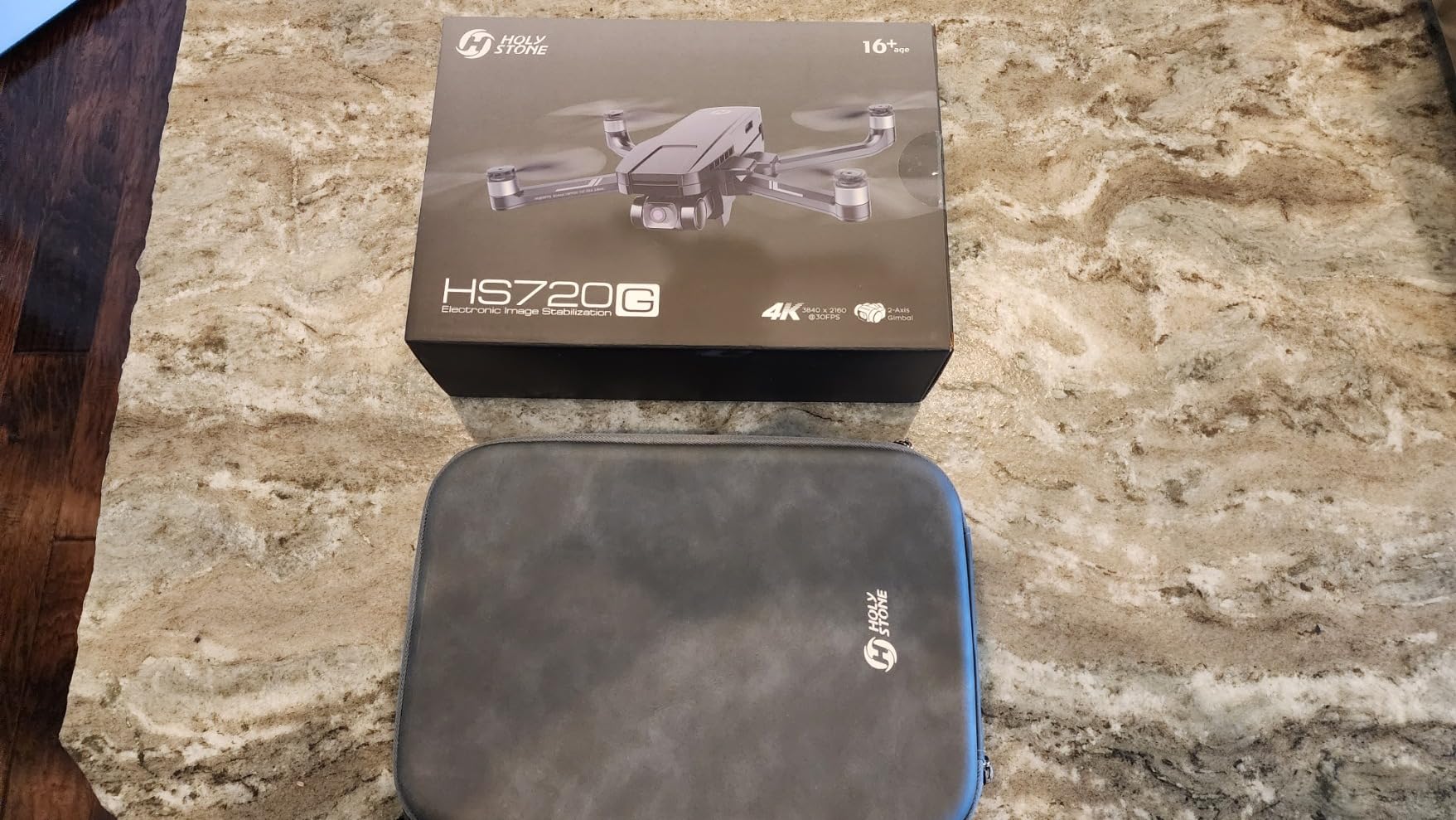
The HS790 exists for a specific problem: a long day on a spread-out site where you do not want to walk back to the trailer. Dual 3200 mAh batteries give up to 60 minutes of total flight, and the 3-axis mechanical gimbal keeps 4K/30fps stable in the gusts that come off an open site boundary.
The built-in Remote ID broadcast is the detail that makes it usable for paid work without a bolted-on module. At 375 g it is firmly in the registered class, so the paperwork is required anyway, but the aircraft handles its own compliance broadcast.
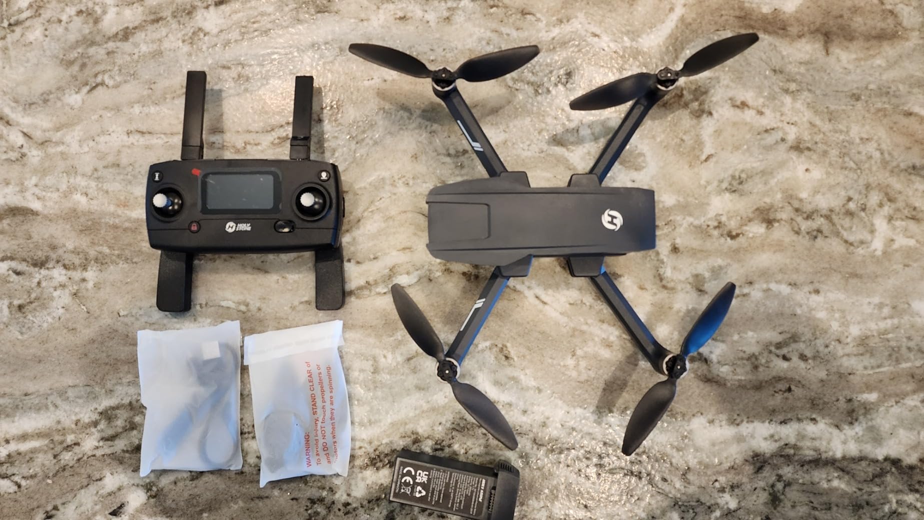
Waypoint flight and follow-me are present, so repeat inspection lines are possible even though obstacle avoidance is not. The 9 km Wi-Fi repeater link streams at low latency over open ground, which is enough for monitoring a laydown area from a safe distance.
Owners highlight endurance, the Remote ID compliance and stable gimbal footage as the reasons to pick it over cheaper toy drones. Seventy percent of reviews are five star with eighty-six percent at four stars or better.
Why crews like it
It is one of the few aircraft at this money that treats the working day rather than the flight as the unit of design. Two batteries, a fast charging hub and long legs make it a natural companion for a site manager covering several plots.
Brushless motors give Level 5 wind resistance and run quietly, which matters when you are over a site with crews working below you.
Where it falls short
The 2.4 GHz Wi-Fi repeater control link is more susceptible to interference than a dedicated link such as OcuSync or SkyLink, and there is a lot of RF on a modern site. There is no omnidirectional obstacle avoidance or LiDAR sensing, so it flies straight where you point it.
Photo resolution and dynamic range trail one-inch-sensor competitors, and the weight means you carry the registration and Remote ID obligations with it.
5. DJI Mini 3 Fly More Combo – Best Value Three-Battery Set
DJI Mini 3 Fly More Combo With DJI RC, 3 Batteries
248 g
4K HDR
114 min across 3 batteries
10 km link
vertical shooting
Pros
- Three batteries deliver up to 114 minutes total
- 248 g so no registration or Remote ID recreationally
- 4K HDR with Dual Native ISO Fusion
- 5.5-inch built-in screen remote readable in sunlight
- True Vertical Shooting for tall structures
Cons
- No obstacle avoidance or object detection
- Adding propeller guards pushes past 249 g
- Occasional rotation drift until restart
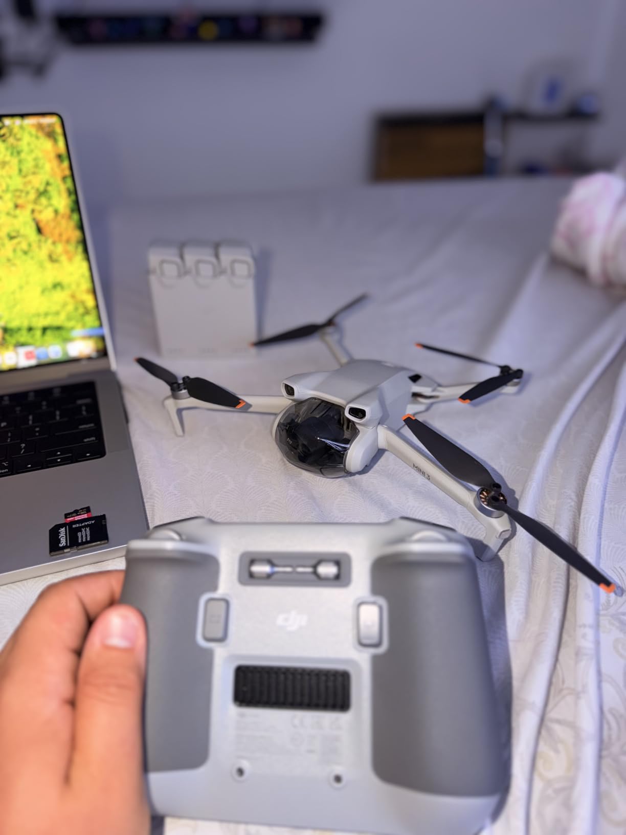
The Mini 3 Fly More Combo is the most complete package in the roundup out of the box. Three batteries, a two-way charging hub, a screen remote and a shoulder bag means a small crew can start on a Monday and cover a full site day without charging logistics getting in the way.
At 248 g it carries no registration or Remote ID obligation for recreational flight, and the 5.5-inch built-in screen on the DJI RC stays readable in direct sun. That combination of legal lightness and a daylight-readable display is rare.
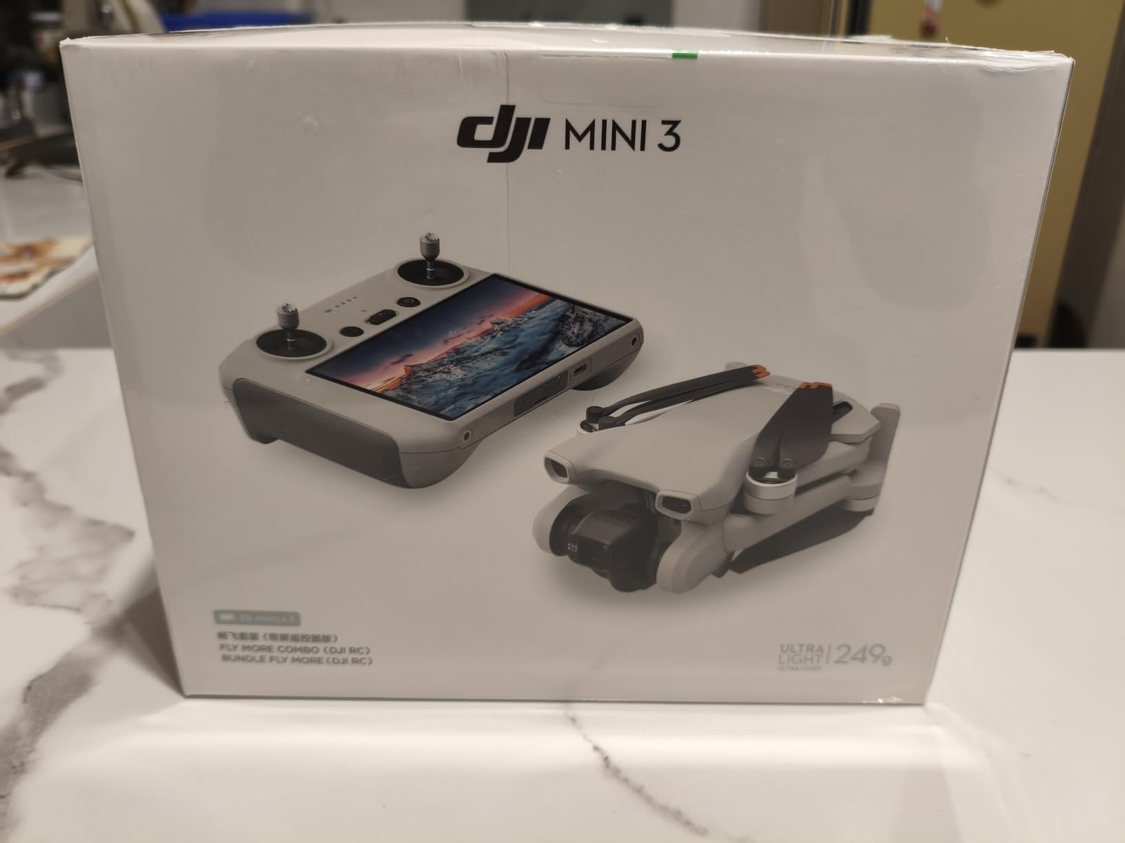
The 3-axis mechanical gimbal with Level 5 wind resistance held 4K HDR steady on a breezy site for me, and True Vertical Shooting is genuinely useful for documenting full-height elevations and tower crane sections without cropping a landscape frame.
Owners consistently describe it as the best-value DJI entry point, and note that the batteries and controls carry over to the Mini 4 Pro, so the upgrade path later does not strand your investment.
Why it earns its place
For progress documentation, the maths is simple: 114 minutes of total flight and a registration-free weight means one pilot can photograph a whole site in a morning without a Part 107 paper exercise for recreational-level work.
Ten kilometre HD transmission holds a solid link across a large laydown area, and quick transfer over Wi-Fi at up to 25 Mb/s makes it easy to get images off the aircraft at the end of a flight.
Where it falls short
There is no obstacle avoidance, which is the single most-cited limitation in the reviews. The common workaround, fitting propeller guards, pushes the aircraft past 249 g and triggers the registration requirement, so the convenience has a real cost.
A smaller cluster of reviews report link loss that triggers an automatic return, and batteries sitting in the two-way charging hub drain down. Plan your ground time accordingly.
6. DJI Mini 4 Pro – Best for Flying Close to Structures
DJI Mini 4 Pro (DJI RC 2), Drones with Camera for Adults 4K, Under 0.549 lbs/249 g, 34 Mins Flight Time, 20km Max Video Transmission Distance, Omnidirectional Vision Sensing, Mini Drone for Beginners
249 g
48 MP stills
34 min flight
omnidirectional vision sensing
20 km link
Pros
- 249 g so no registration paperwork for recreational flight
- Omnidirectional four-way vision sensing near structures
- 48 MP still capture at one-inch-class quality
- 34-minute flight time and 20 km video transmission
- Built-in screen on the RC 2 remote readable in sunlight
Cons
- Shares camera hardware with the Mini 3 Pro
- Firmware updates have produced artifact lines on some units
- Propeller noise noticeable in low light
The Mini 4 Pro is the one I would put in the hands of a new site pilot. Omnidirectional four-way vision sensing means it will stop itself against a scaffold pole or a rebar cage rather than burying itself, and that single feature removes most of the risk of a first flight on a cluttered site.
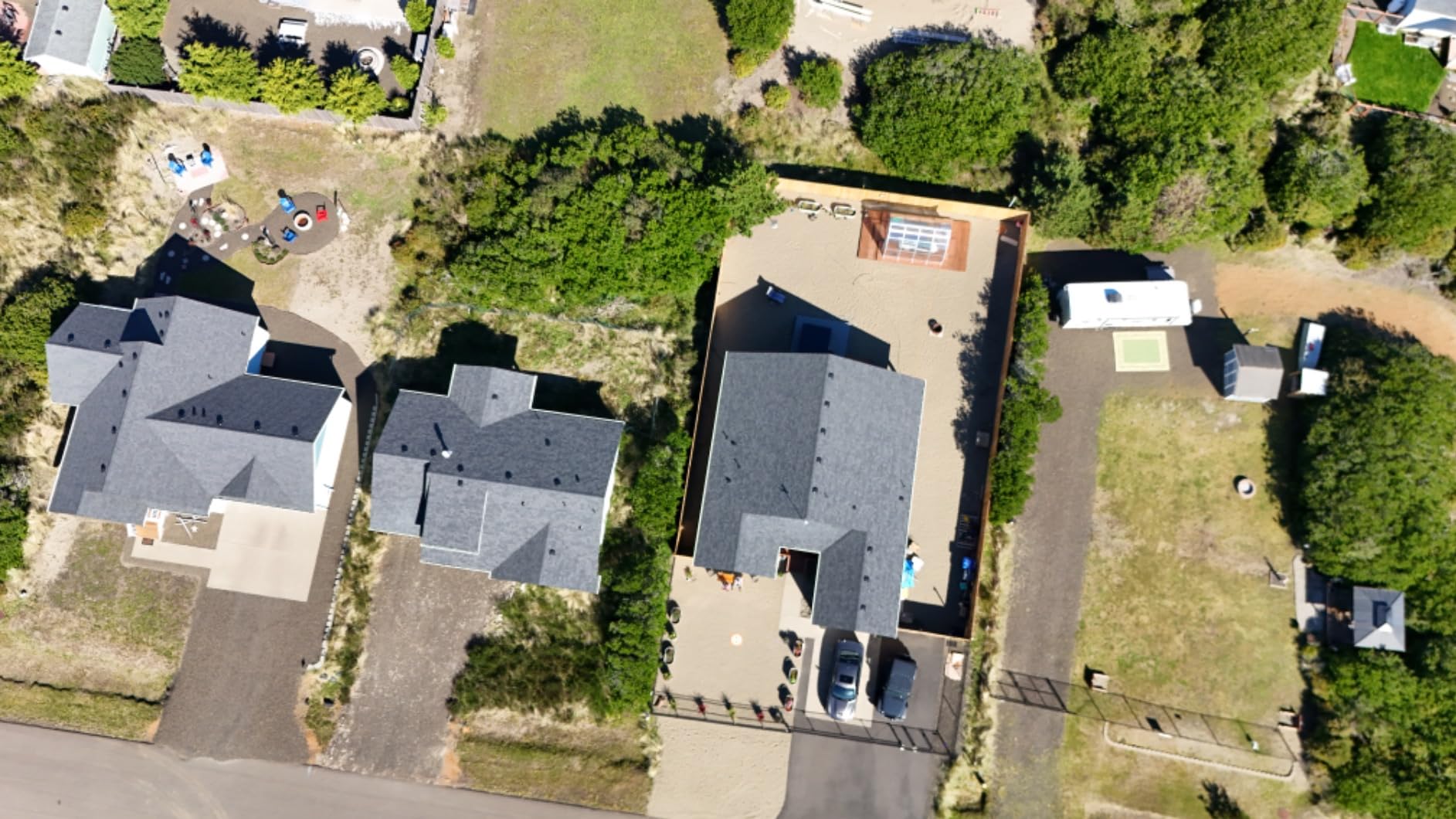
It still captures 48 MP stills, which is more detail than any other sub-250 g aircraft here, and the All-Stunnning Vision system gives usable 4K/60 HDR night footage for evening or overcast progress sets.
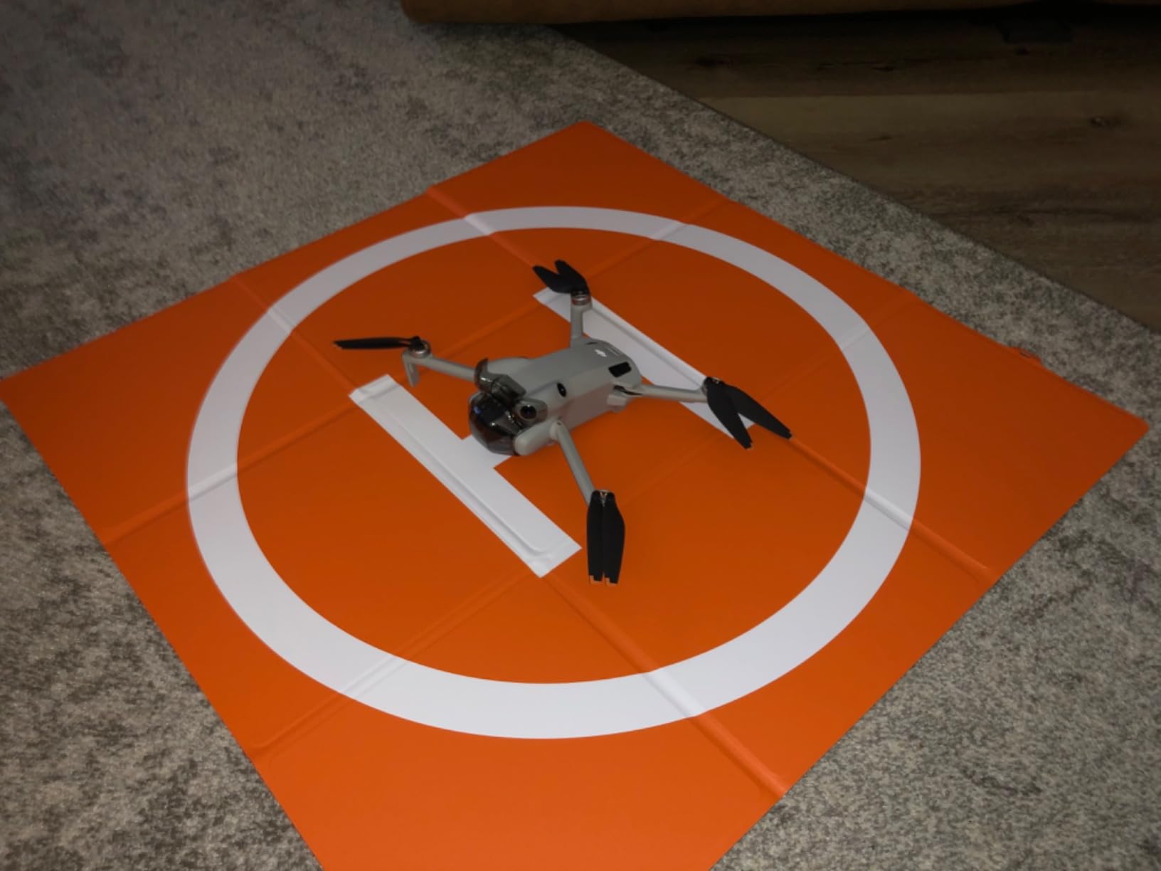
At 249 g it keeps the registration-free advantage while adding obstacle avoidance, which is a genuinely useful combination. The ActiveTrack 360° mode lets a site manager walk the perimeter hands-free while the aircraft follows, which is a fast way to capture a boundary condition.
Owners widely rate this as the first genuinely worthwhile DJI mini drone, with a clear image quality step up from earlier models and a screen-equipped remote that gets praised repeatedly.
Why it suits new operators
Collision avoidance plus a lightweight airframe is the safest pairing for someone six months into flying. The advanced feature set and menu depth can overwhelm a first-timer, so budget an hour in a car park before the first site flight.
For anyone weighing camera drones generally, our camera drone roundup covers where this sits against the alternatives.
Where it falls short
The camera hardware is shared with the Mini 3 Pro, so cross-generation accessory compatibility is limited and there is no imaging leap over the model below it in this list. If you need a mechanical shutter for survey-grade capture, this is not the aircraft.
Some owners report diagonal artifact lines appearing after firmware updates, and propeller noise is noticeable in low light and near slow flight. Keep the firmware current and check with support if you see artifacts.
7. Bwine F7GB2 Pro – Best for Rough and Uneven Ground
Bwine F7GB2 Pro Drones with Camera for Adults 4K UHD Aerial 3-Axis Gimbal
550 g
3-axis gimbal
75 min across 3 batteries
Level 6 wind
Remote ID certified
Pros
- Three UL-certified batteries give up to 75 minutes total
- Level 6 wind resistance with 1806 brushless motors
- Landing feet sit directly below the props on uneven ground
- Remote ID certified for Declaration of Compliance
- Two-year warranty covering damaged parts
Cons
- Compass must be recalibrated before nearly every flight
- Remote screen is hard to read in direct sunlight
- Charger is not included and batteries recharge slowly
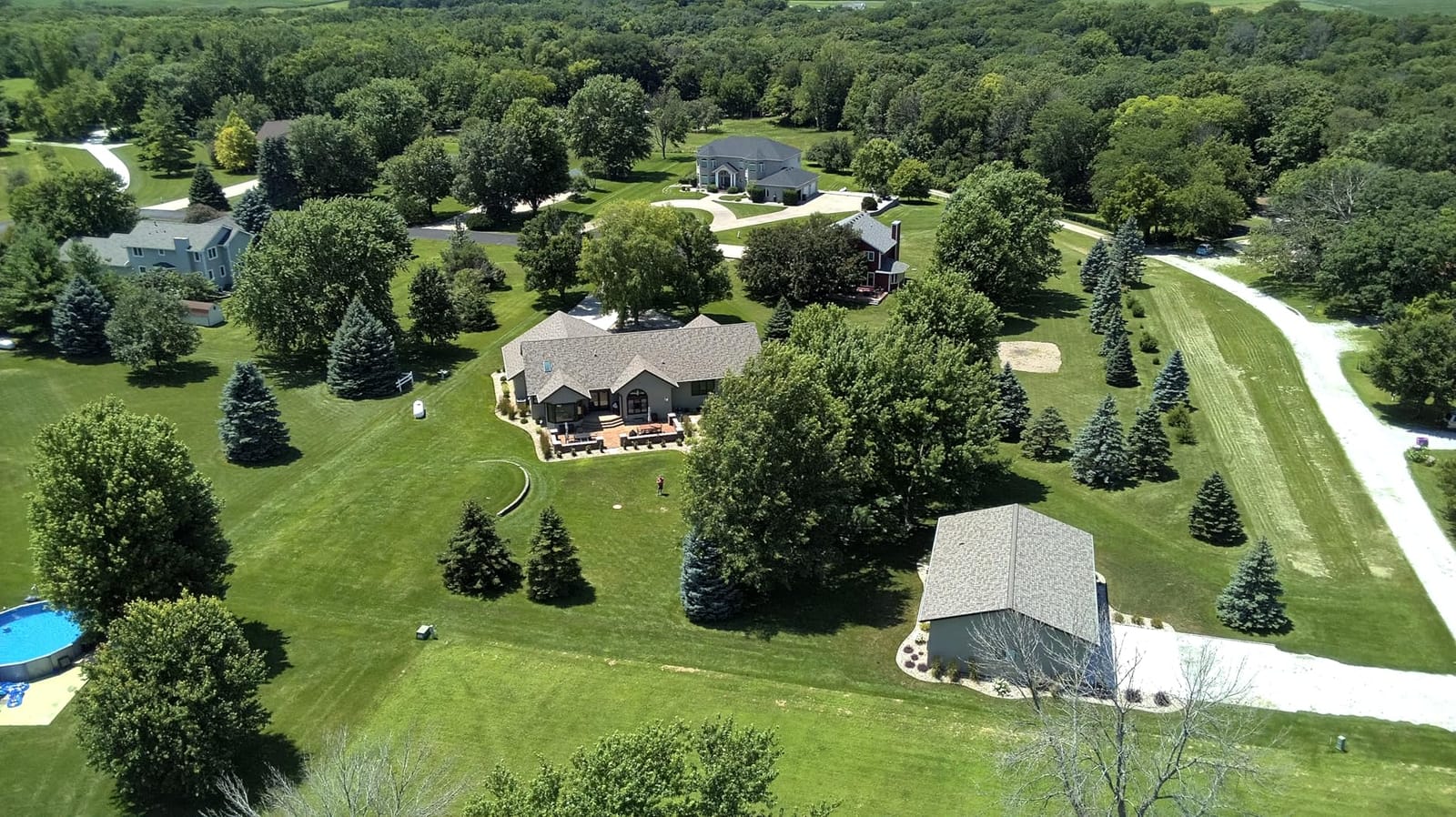
Unbroken ground is the thing most drones in this roundup get wrong. The Bwine places its landing feet directly below the propellers, so on broken slab, rutted haul roads or loose spoil it stays upright on touchdown where an aircraft with legs splayed wide can tip and dig a rotor into the dirt.
Level 6 wind resistance is the highest rating in the group, and the 1806 brushless motors keep it steady in conditions that ground lighter plastic frames. Three batteries give up to 75 minutes, and the 2000 m altitude ceiling is useful on tall structures.
Remote ID certification is built in, so it is ready for registered commercial work rather than needing a separate broadcast module. The detachable one-click camera with a 3-axis gimbal and 5x zoom means a damaged camera can be swapped in the field instead of ending the day.
Owners rate it as a capable workhorse that handles wind better than its price suggests, and several reviews single out Bwine support as exceptional, with fast replacement of defective aircraft and swollen batteries.
Why it works on rough ground
On a site with no hard-standing for a hundred metres, an aircraft that lands reliably will get more sorties flown per day than a better-equipped one that ends up on its back. The gimbal and 120-degree field of view keep frames usable at low sun angles.
GPS auto return, follow me, waypoint and circle flight all work reliably enough for repeat inspection lines on a fixed perimeter.
Where it falls short
The compass must be recalibrated before nearly every takeoff, which is a ritual that eats into a site day and is the most repeated complaint. The remote screen is very hard to read in direct sunlight, so plan flights around sun position.
Batteries swell if stored at full charge and take six to eight hours to recharge, and no charger is included in the box. Store them part-charged between jobs.
8. Ruko U11MINI 4K – Best Affordable Gimbal Drone
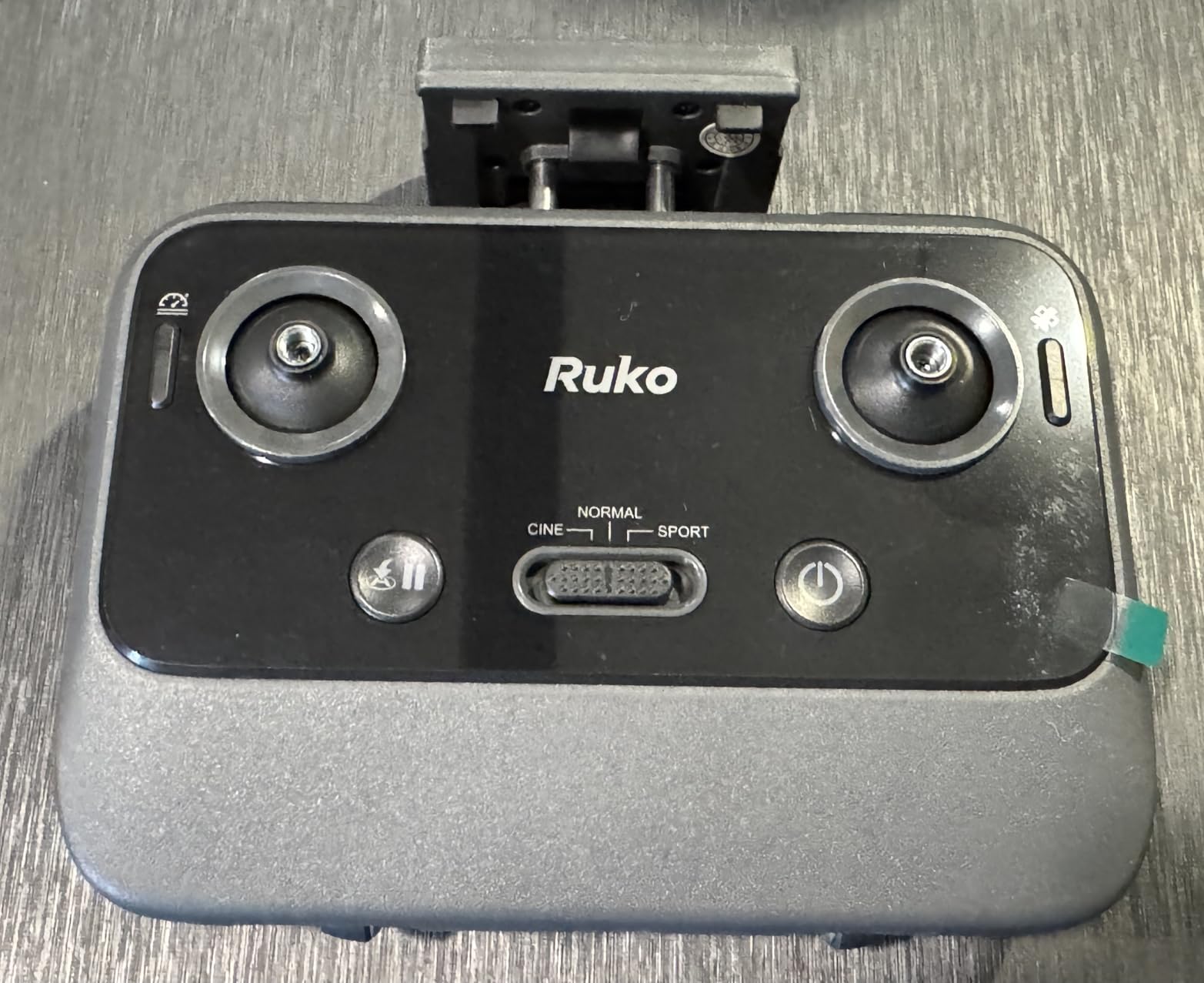
Ruko Drone with Camera for Adults 4K Video & 8K Photo, 96 Mins Flight Time
248 g
1/2-inch 48 MP
3-axis gimbal
96 min across 3 batteries
no waypoint planner
Pros
- Three 2200 mAh batteries give up to 96 minutes total
- 1/2-inch 48 MP sensor with 3-axis brushless gimbal
- 248 g so no registration or Remote ID
- Quadruple positioning holds hover steady
- Survives crashes with minor damage per owners
Cons
- No obstacle avoidance and no waypoint mission planner
- Real video link degrades within a few city blocks
- Batteries drain faster in cold conditions
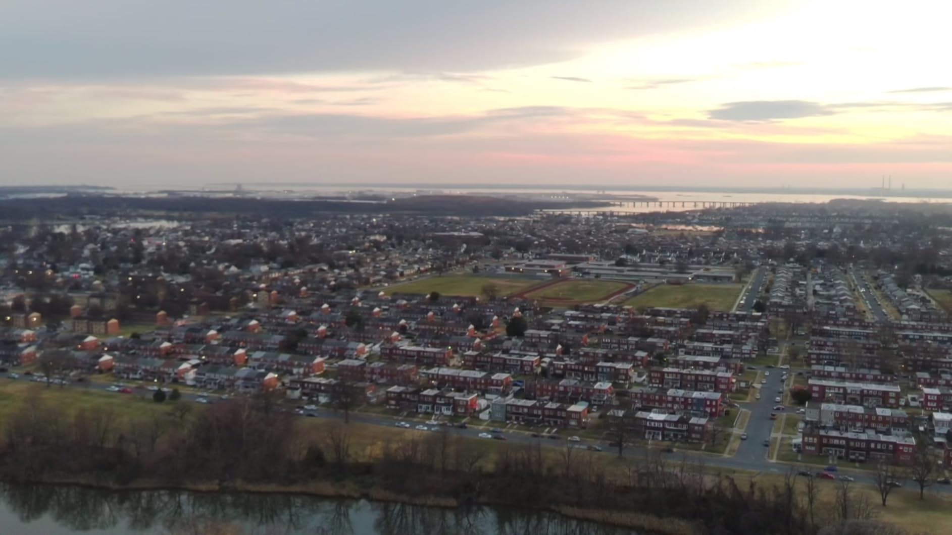
The U11MINI 4K is unusual in this price band because it pairs a genuine 1/2-inch 48 MP sensor with a 3-axis brushless gimbal at 248 g. That combination produces the most detailed stills of any sub-250 g aircraft here, which makes it a reasonable progress-documentation camera even though it cannot fly repeatable missions.
Three batteries give up to 96 minutes of total flight, and quadruple positioning with time of flight, optical flow, barometer and GPS holds the hover steady enough to frame a shot without constant correction.
Owners consistently call it a capable first serious drone, and several report surviving tree collisions with no lasting damage, which tells you something about the airframe. One-tap AI takeoff and landing, GPS with a beeper and automatic return on low power make it forgiving for new pilots.
Support is repeatedly singled out as fast and effective, and the aircraft folds into the included carrying case for transport between sites.
Why it is worth considering
Image quality is the draw. A 1/2-inch sensor with electronic stabilisation gives you a photograph you can actually put in a client report, and at 248 g it carries no registration paperwork for recreational flights.
It is a good companion aircraft for the person who shoots progress photos and inspections rather than measurements.
Where it falls short
There is no obstacle avoidance and no GPS waypoint mission planner, so you cannot repeat a flight path, which rules it out of the core survey workflow. The advertised 20,000 ft link degrades within a few city blocks in practice, so treat it as a short-range link.
Batteries drain faster in cold conditions, cutting usable time to roughly 20 to 30 minutes each, so count on two rather than three in a winter morning.
9. Holy Stone Saturn T60A – Best for 4K HDR Site Video
Holy Stone Saturn T60A 3-Axis Gimbal Drone with Camera for Adults, 8K Photos & 4K HDR Video, 90-Min Flight Time, 10KM Transmission, AI Smart Follow, Night Vision, Weightless Shuttle, Smart RTH
660 g
8K stills, 4K HDR
90 min across 2 batteries
Level 6 wind
no obstacle sensing
Pros
- Two intelligent batteries provide up to 90 minutes total
- 1/2-inch Sony CMOS with f/1.8 aperture
- 3-axis brushless gimbal combined with EIS
- Level 6 wind resistance with a reinforced airframe
- 10 km digital transmission range
Cons
- No collision detection or obstacle avoidance
- Aircraft can sway and drift while hovering
- Remote ID is not built in despite the weight requiring registration
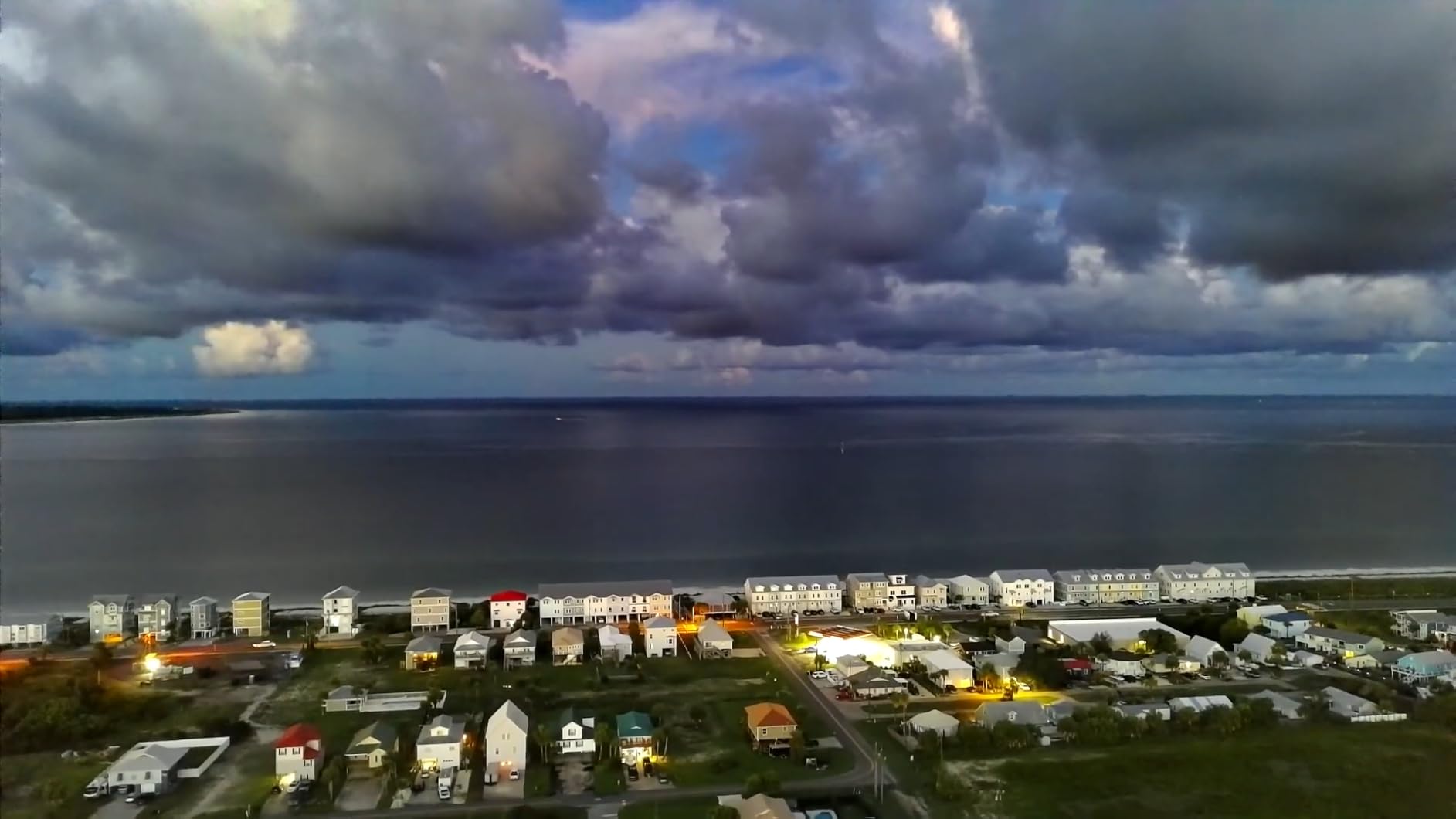
The Saturn T60A is the video specialist here. A 1/2-inch Sony sensor with an f/1.8 aperture records 8K stills and 4K HDR video, and the 3-axis brushless gimbal plus electronic stabilisation keeps moving shots smooth enough to use as site condition evidence rather than just an internal record.
Two batteries give up to 90 minutes of total flight and the Level 6 wind resistance with a reinforced airframe holds up outdoors where lighter plastic bodies flex in gusts.
Shock-absorber camera mounts reduce the motion sickness in footage that clients complain about on other aircraft, and AI Smart Follow covers handover and condition walk-throughs without a second person flying.
Owners point to the endurance, wind tolerance and above-average image quality for the tier as the reasons to pick it, with a wide mode list covering panorama, time-lapse, slow motion and night vision.
Why it earns a place
For handover documentation, site condition records and client updates, the 4K HDR footage from a 1/2-inch sensor is a step above what the sub-250 g drones produce. The reinforced airframe and long endurance suit full days outdoors.
Ten kilometre transmission gives comfortable working distance from a laydown area when you need to keep clear of the active zone.
Where it falls short
There is no collision detection or obstacle avoidance, and the aircraft can sway and drift while hovering, which adds movement to slow precise shots. At 660 g it requires registration, yet Remote ID is not built in, so you need a separate broadcast module to be fully compliant.
Sixty-four percent of reviews are five star, the lowest top-rating share here, and there is a cluster of reports of abrupt power loss in flight. Treat any warning light as a reason to land.
10. Holy Stone HS360D – Best Budget Waypoint Drone
Holy Stone HS360D GPS Drones With 4K Camera For Adults, 249g RC Quadcopter with 80-Min Flight Time, 20000ft Range FPV Transmission Beginner Drone, Auto Return, 2 Batteries, Upgraded HS360S
125 g
8.3 MP stills, 4K video
80 min across 2 batteries
6 km FPV link
no gimbal
Pros
- Two batteries give up to 80 minutes total flight
- Under 249 g so no registration required
- Wired remote-to-phone link cuts latency versus pure Wi-Fi
- Folds into the included case for site-to-site transport
- GPS waypoint and follow-me modes
Cons
- No gimbal so footage is not stabilized
- 8.3 MP still resolution is low for any mapping work
- Requires a phone as the display for all functions
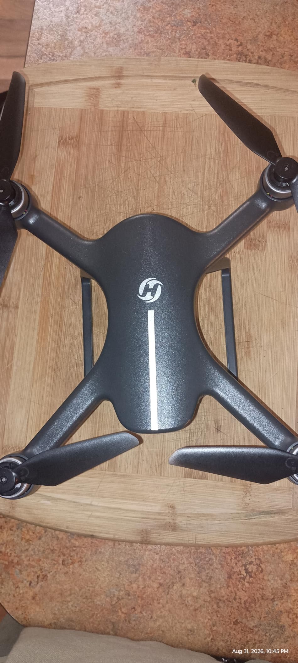
The HS360D is the cheapest way to find out whether waypoint flying works for your site, and at 125 g it carries no registration obligation. Waypoint flight, circle fly, follow me and auto return are all present, so you can set a perimeter path and let it run while you check other things.
The wired remote-to-phone link cuts latency compared with a pure Wi-Fi setup, which matters when you are trying to keep the aircraft in view over a wide laydown area. Two batteries give up to 80 minutes of total flight.
It folds into the included case, so moving between sites is a one-bag job. Owners buy it as an inexpensive, easy-to-fly waypoint and follow-me platform and rate the endurance and sub-249 g weight highly.
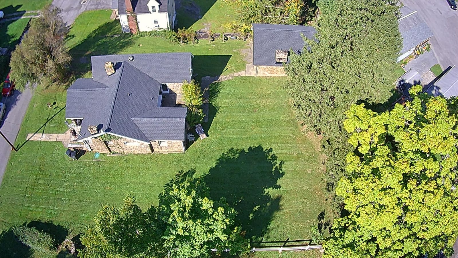
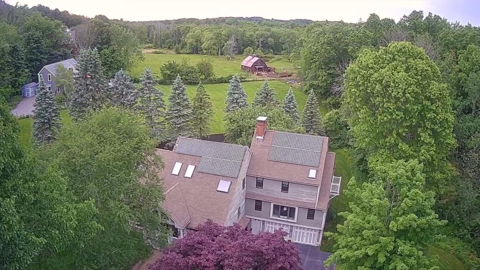
The 1/3-inch CMOS with an 85-degree wide lens records 4K video at 3840 by 2160, which is fine for showing a client a site condition and no more.
Why it is on the list
For a small firm that needs repeatable coverage paths and nothing more, it does one job cheaply and without paperwork. The auto return triggers on low battery or signal loss, which is reassuring when you are new to flying.
It is also a sensible second aircraft for a crew member who only needs to document, leaving the better camera with the person who flies missions.
Where it falls short
There is no gimbal, so nothing is stabilised and the output is not usable for survey capture of any kind. At 8.3 MP the still resolution is low even for progress documentation, and real-world range is well short of the advertised 20,000 ft.
It needs a phone as the display and the app for all functions, and the share of three-star and one-star reviews is comparatively high, pointing to uneven reliability across the fleet.
How to Choose by Job Type
Start with the deliverable, not the aircraft. Every decision below flows from what your client actually signs off on, because the drone is a means and the measurement is the product.
Monthly progress documentation. You need a stabilised camera, good still resolution and a screen-readable controller. The Air 3S and the Mini 3 Fly More Combo cover this best, because battery count and a readable display decide how many sites you cover in a day. The Mini 4 Pro fits here too if your pilot is new and collision avoidance matters more than still resolution.
Inspection and handover condition records. The dual camera on the Air 3S is the deciding factor, because a 3x tele means you inspect a defect without flying into it. For thermal and envelope work you will need a dedicated thermal payload, which none of the ten aircraft here carries, so budget for an enterprise platform rather than stretching one of these.
Volumetrics, stockpiles and cut and fill. None of these drones can do this to a standard a client will sign. Volumetric calculation needs a dense point cloud at a controlled ground sample distance, which in practice means an RTK or PPK platform, a mechanical shutter and measured ground control points. Use the aircraft below for reconnaissance and as a spot-check tool, not as the source of record.
Large-area mapping. For sites past roughly 50 hectares, a multirotor at these endurance figures will need dozens of flights, and a fixed-wing platform becomes the efficient choice. Among the ten listed here, the HS790 and the Saturn T60A give the longest legs, but they are still multirotors.
Public and federally funded work. Check the procurement rules before you buy. Several major drone manufacturers and their components have appeared on the FCC Covered List, which can disqualify equipment on publicly funded projects. Verify the specific model against your client’s requirement rather than assuming the brand is acceptable.
Accuracy reality check. Without an RTK module, these aircraft deliver roughly 20 to 50 cm horizontal. With an RTK module and post-processed ground control points, a survey-grade platform reaches 1 to 3 cm. That gap is the difference between a progress photo set and a topographic deliverable, and it is why almost every model on this list is framed as documentation and inspection hardware.
Photogrammetry or LiDAR. Photogrammetry is cheaper, faster and more accurate on bare ground, which covers most early-stage sitework. LiDAR earns its place when you have dense vegetation, deep shadow, or need a bare-earth digital terrain model through tree cover, at a materially higher cost per site. For a cleared construction site with hard surfaces, spend the budget on flight time and ground control points instead.
Software, Processing and the Ground Control Workflow
The aircraft is roughly half the work. The other half is what you do with the images, and that is where most site teams lose accuracy. The forums make this point constantly: people ask which program to take dimensions from, and the answer depends on the deliverable, not on preference.
DroneDeploy and Pix4D are the common entry points for contractors because they handle end-to-end processing and export to CAD, and they accept consumer aircraft, which matters if you are starting with one of the ten listed here. DJI Terra is the natural fit if you fly DJI aircraft and want a low-friction pipeline, and Bentley ContextCapture sits at the top of the market for very large infrastructure programmes.
Whichever you pick, the workflow is the same. Plan the mission over the site boundary, set roughly 75 percent forward overlap and 65 percent or more side overlap for photogrammetry, and place ground control points before you fly rather than after. The control points are the step that converts a good-looking mosaic into a defensible measurement, and validating them against check points is how you prove the accuracy you claim.
Fly at an altitude that delivers the ground sample distance you need. For progress documentation, 2 to 3 cm per pixel is plenty. For volumetrics, tighter is better, and that means more sorties, more batteries and more control points.
For small crews, be honest about the alternative. A drone survey service handles the compliance, the processing and the accuracy report, and for a one-off as-built the cost is often lower than the aircraft plus software plus the training time. Buying makes sense once you are flying regularly and the data has to be repeatable.
Legal and Compliance Before Your First Paid Flight
Almost nobody buys a drone for construction and then discovers the paperwork is the hard part, so here it is up front. The single most common question across every construction forum is whether you need a licence, and the answer is yes for paid work.
Registering the aircraft is the first step. Weight thresholds determine whether registration and Remote ID apply, and several aircraft in this roundup sit on either side of the line depending on whether propeller guards are fitted. Remote ID broadcast is built into some models here and requires an external module on others, so check the specific one you are buying.
Part 107 certification is required for anyone flying for compensation. It is a knowledge test and a medical certificate, not a licence in the sense most people assume, but you cannot legally fly a paid site survey without it. Users on industry forums point out that the certification and the flying effort, not the aircraft, are the real cost driver of a drone survey service.
Airspace comes next. Urban job sites frequently sit inside controlled airspace, so you need airspace authorisation before every flight near an airport, and the 1:1 rule applies to recreational operations, which is not what a paid site survey is. Check state and local permit layers as well, because several jurisdictions impose their own notice requirements on construction sites near airports.
Finally, insurance. Clients increasingly ask for evidence of drone liability cover, and many general contractors will not let an uninsurable party operate over their site at all. Put the aircraft, the operator and the processing subcontractor on the same policy.
Frequently Asked Questions
Do you need a license to do drone surveys?
Yes, for paid work. In the United States, any flight conducted for compensation requires an FAA Part 107 remote pilot certificate, which means passing the knowledge test and holding a medical certificate. The aircraft must also be registered, and Remote ID broadcast must be active. Recreational flying carries lighter rules, but a contractor photographing a client site is doing commercial work.
How much does a survey drone cost?
It depends on the class of aircraft and the extras you need. The ten drones in this roundup are documentation and inspection platforms, while a true survey-grade mapping platform sits several steps above them once you add an RTK module, spare batteries, processing software and insurance. The hidden costs that surprise buyers most are the RTK module and the annual software subscription, not the airframe.
Which drone is best for LiDAR mapping?
None of the ten drones on this list carries a LiDAR payload, because LiDAR is a different class of hardware. LiDAR platforms are chosen when you need a bare-earth digital terrain model through vegetation or deep shadow, where photogrammetry struggles. On a cleared construction site with hard surfaces, a photogrammetry platform with RTK and ground control points is faster, cheaper and more accurate.
What is the best drone software for surveying?
For most contractors, DroneDeploy and Pix4D are the usual starting points because they process flights from consumer aircraft end to end and export to CAD. DJI Terra is the smoothest option if you fly DJI aircraft. Bentley ContextCapture targets very large infrastructure programmes. The choice matters less than flying proper ground control points and validating them against check points afterwards.
How accurate are drone surveys compared to traditional surveying?
An RTK-enabled platform with a mechanical shutter and measured ground control points reaches roughly 1 to 3 cm horizontal and vertical, which is comparable to total station work for many site applications. A consumer or prosumer aircraft without an RTK module delivers roughly 20 to 50 cm, which is good enough for progress documentation but not for grading sign-off or stakeout.
Conclusion: Which Drone to Buy and Why
The best drones for construction site surveys in 2026 are not the ones with the biggest spec sheets, they are the ones your pilot will actually fly every week without a support ticket. If you are starting out, buy the Potensic ATOM to learn on and to prove the concept to a client. If your work is repeat inspection and monthly progress sets, the DJI Air 3S Fly More Combo earns its place through three batteries and a tele camera.
When the job becomes measurement rather than documentation, stop stretching these aircraft and move up to an RTK or PPK platform with a mechanical shutter and a proper ground control plan. That upgrade, not a better consumer drone, is what gets you to 1 to 3 cm and a deliverable a project manager will actually sign.